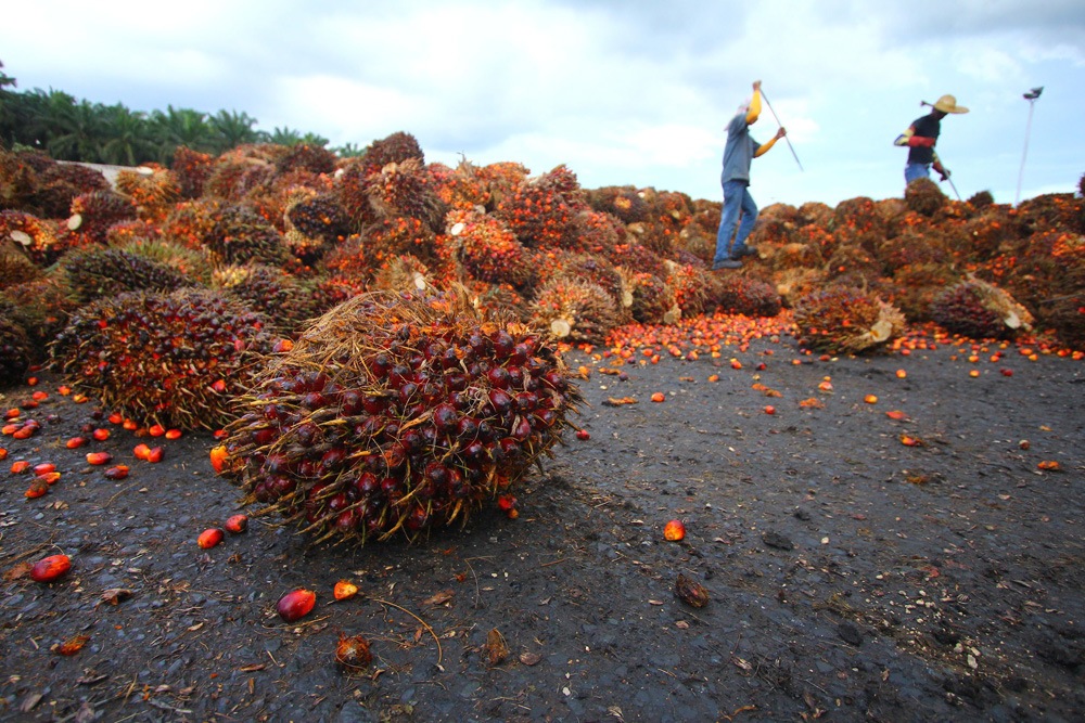
Oil palm, Malaysia’s cash crop. Photo credit: t4nkyong / 123RF.
Tourists know Kuala Lipis, a small city in the center of West Malaysia, for its quaint, colonial architecture. But Jin Xi Cheong, who grew up here, remembers the nearby plantations filled with oil palm – the cash crop of Malaysia.
“My family actually has a couple of plantations as well,” Jin Xi, founder of drone and data analytics startup Poladrone, tells Tech in Asia. “We just grew up with that kind of experience and exposure to the agriculture world. That’s why we decided to do something in it.”
In Malaysia, the oil palm industry is a double-edged sword.
In Malaysia, the oil palm industry is a double-edged sword. Palm oil – produced from the oil palm plant – is one of the country’s largest exports and is used in a wide variety of products around the world: vegetable oil, biodiesel, soap, shampoo, instant noodles, and more. However, the industry has wrought devastating environmental destruction on the country’s forests, which are burned to clear land for oil palm plantations. Many major international companies, such as Unilever, have adopted no-deforestation policies in response.
To meet the demand for palm oil while adapting sustainable practices, plantation owners must become more efficient, believes Jin Xi. That’s where he thinks Poladrone can play a part. Using drones, the startup offers plantation owners a birds-eye view of their farms, while supplying them with useful maps of data that show how many trees are on their land, how healthy they are, and more.
“When you have over 100 acres [of land], it takes at least a couple of hours to drive around and survey what’s going on,” he says. “With a drone, you could do it in 15 to 20 minutes.”

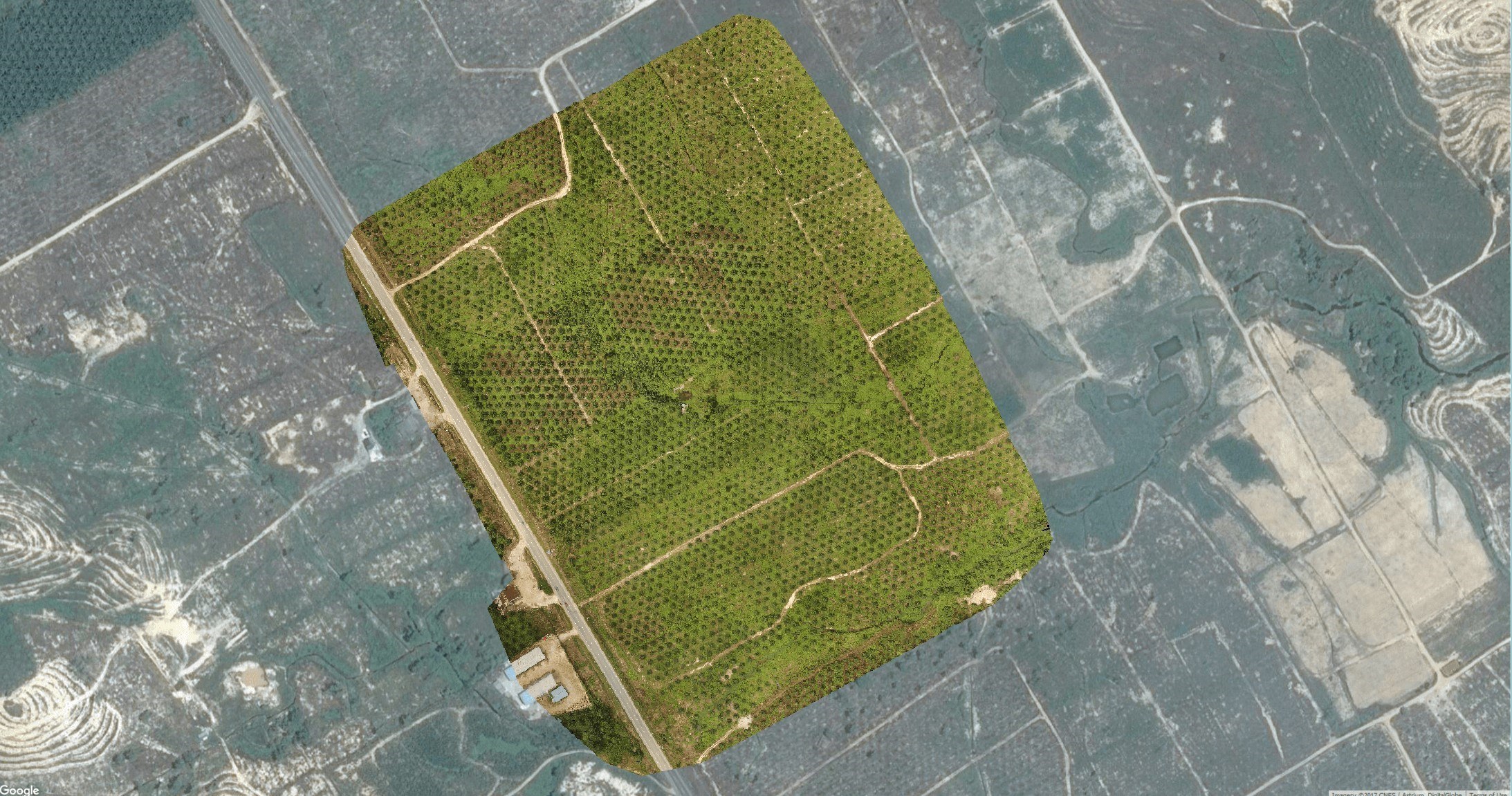
An aerial image taken by a drone, with a section of the plantation highlighted. Photo credit: Poladrone, modified by Tech in Asia.
Poladrone starts by planning out the drone’s flight routes over the plantation, so that it takes the optimal path for mapping. A 1000-acre plantation would have to be split up into 10 different flights, Jin Xi explains.
Then, using Litchi, a kind of flight-controller software, Poladrone loads the flight data onto the drone so that it flies automatically. That saves plantation owners the hassle of having to fly the drone. If the plantation owner doesn’t own a drone, Poladrone will sell them one (typically a DJI Phantom 4 or Pro). Owners fly their drones about every two weeks, says Jin Xi.
The goal is to offer plantation owners a birds-eye view of their farms.
“It’s quite good that the weather is consistent over here,” says Jin Xi. From 9am to noon, the weather in Malaysia is typically very sunny – good for flying drones – with rain coming in around 4pm or 5pm, he says.
After the drone is finished mapping, the data is transferred to Poladrone’s servers via wifi or mobile data. Then, the startup will process everything, stitching together images and performing analyses such as tree counting or image differentiation. That lets owners track changes on the plantation, such as newly cleared areas or blocked access routes, without physically inspecting the site.

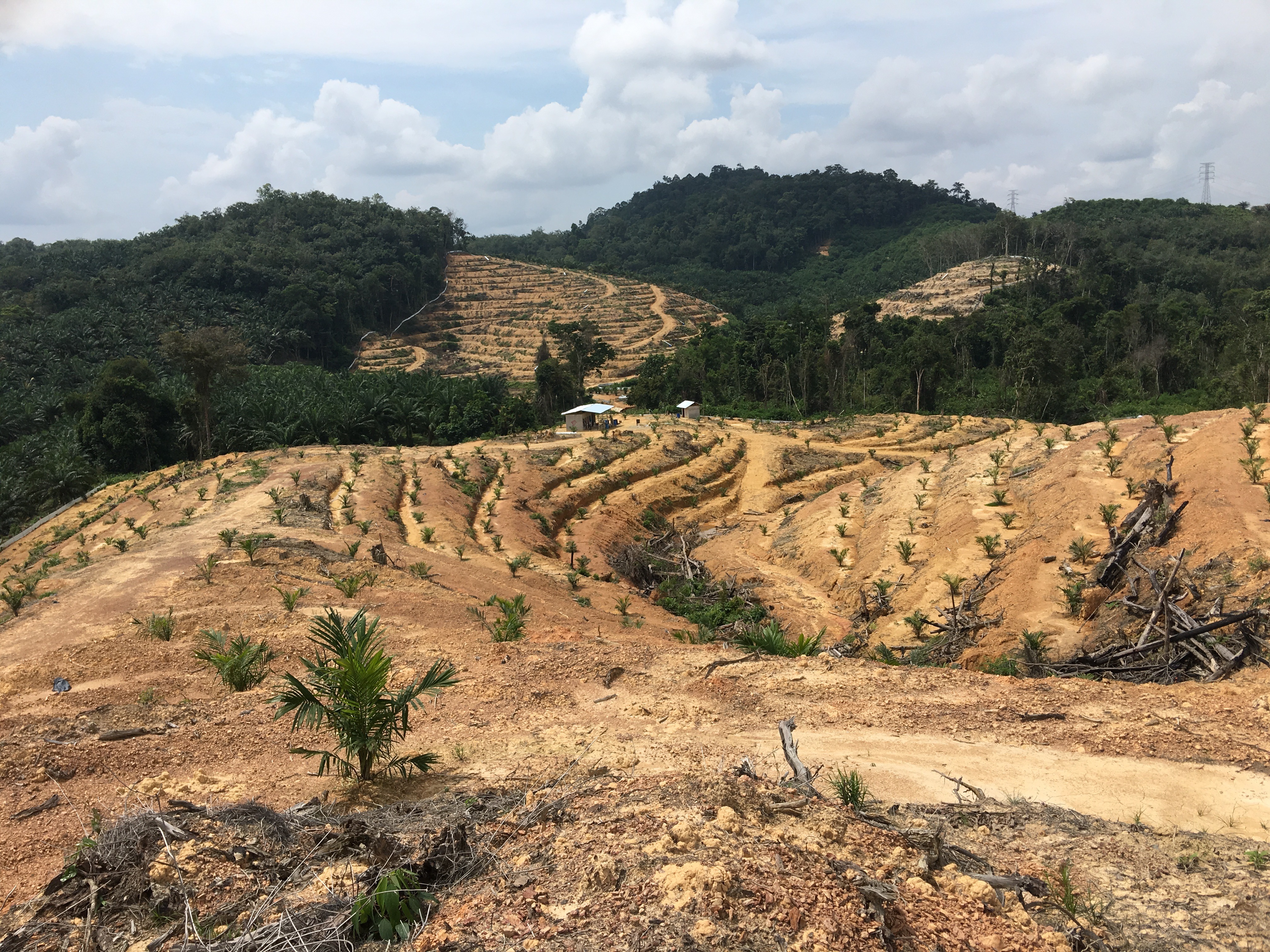
A ground view of a plantation. Photo credit: Poladrone.
Early days
So far, Poladrone says it has three clients and is looking forward to another five or six coming on board soon. Though plantation owners are pleased once they see the technology in action on-site, there’s a deep-rooted resistance towards technology that Poladrone has to fight against.
“The oil palm plantation agriculture industry has been going on for hundreds of years, and a lot of [farmers] have been doing manual work for years and years – all their life,” says Jin Xi. “It’s quite challenging to break that kind of stigma towards tech within Malaysia.”
There’s a stigma towards technology in Malaysia’s agriculture industry.
Founded last year, the startup is by no means the first to apply drones to agriculture. Research firm MarketWatch estimates that the global agriculture drone market will be worth US$3.69 billion by 2022. However, the drone and big data industry is still nascent in Malaysia. Though the country’s Department of Civil Aviation released drone regulations last year – permits are required to fly drones that weigh over 20 kilograms – many law enforcement officers don’t understand them, says Jin Xi.
“If you’re flying near people or, say, a police [officer] finds you, they’re going to stop you and ask a lot of questions,” he says. “But when you ask them, under whose direction or ministry, they wouldn’t be able to tell [you].”
Currently, the startup is focusing on developing new algorithms to analyze image data, such as from plants other than oil palm. It’s also participating in Reimagine Drone, a three-month drone services incubator in Barcelona, Spain. The program is jointly organized by Brinc, a hardware accelerator based in Hong Kong, and Incubio. Even though Poladrone is thousands of kilometers from its customers at the moment, the proximity to more big data experts has been invaluable, says Jin Xi.
“The technical big data analysis expertise […] is not extremely strong in Malaysia at the moment,” he says. “That’s what we’re trying to leverage on when we’re here […] so that we can build the right foundation when we go back to Malaysia, and build the right team over there.”

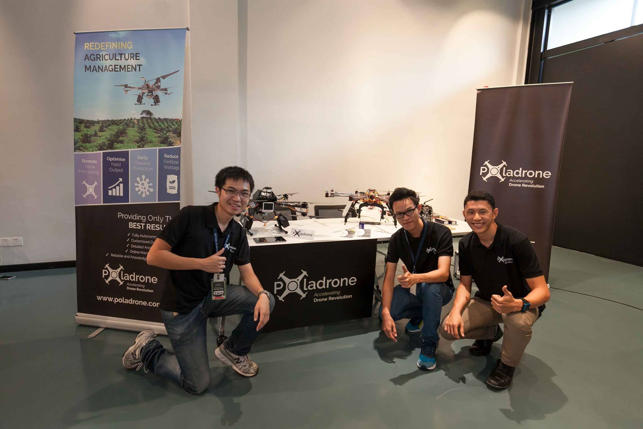
Poladrone’s founding team (left to right): Jin Xi Cheong, Yong Guan How, Yew Hock Hoe. Photo credit: Poladrone.
This post He grew up around oil palm plantations. Now he’s using drones to make them more efficient appeared first on Tech in Asia.